Features
VICUS BUILDINGS provides all tools for professional thermal building simulation.
Model Creation – Fast and Precise
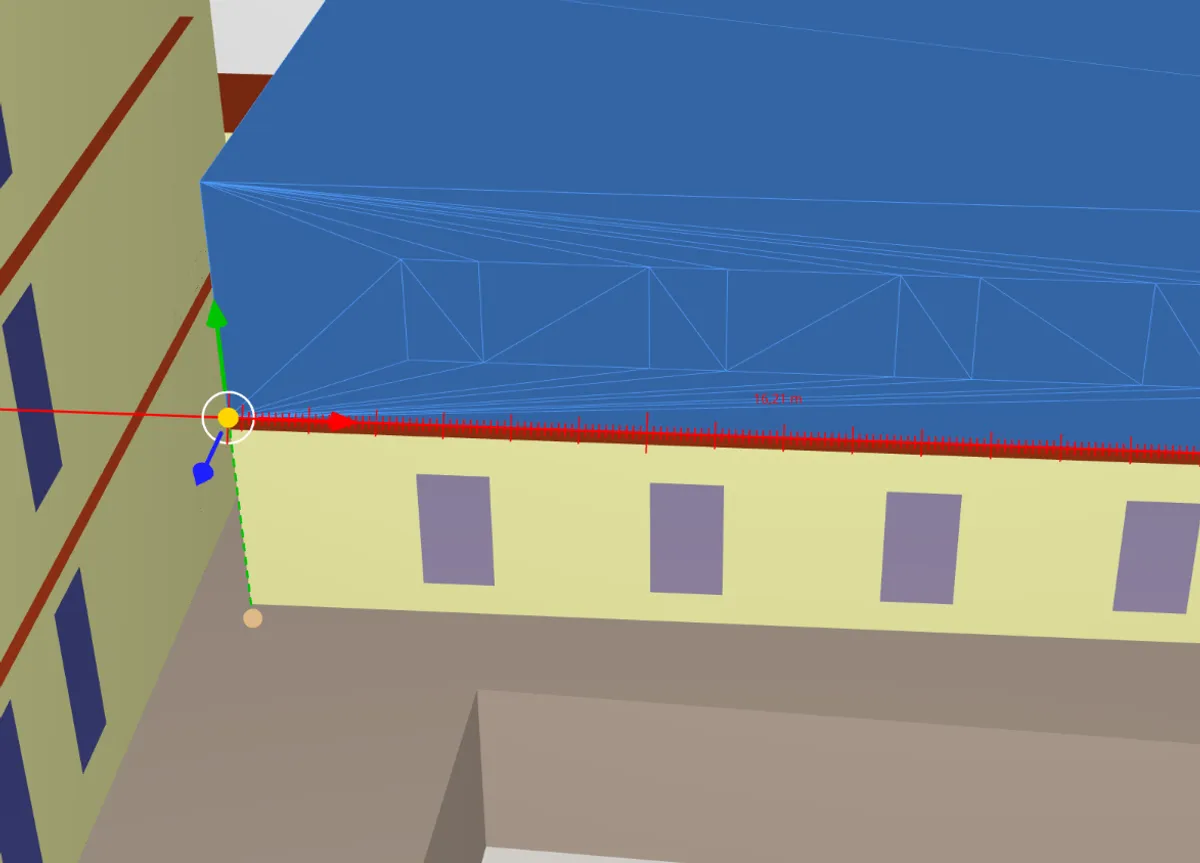
Create building models entirely in 3D with millimeter-level precision.
- Complete model creation in 3D
- Millimeter-precise drawing
- Window geometries in seconds – as area fractions, by dimensions or as custom shapes
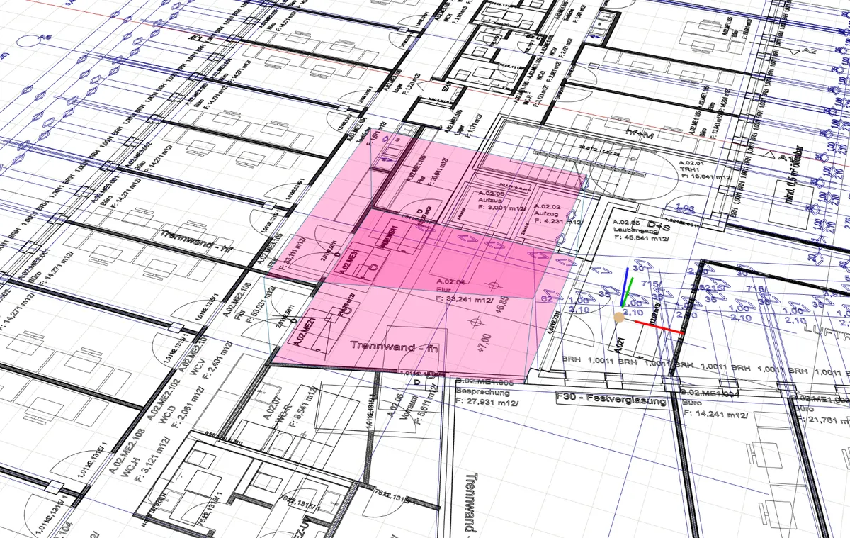
Geometry Functions of Modern CAD Systems
Professional tools for efficient editing of complex building geometries.
- Move, rotate and align
- Scale, trim and cut
- Local coordinate system as drawing assistant
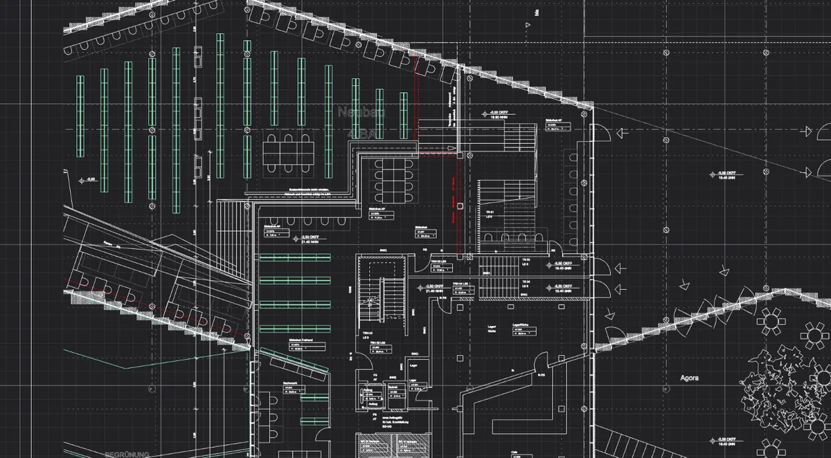
CAD Imports
Use existing planning data directly in VICUS BUILDINGS – for a fast and smooth project start.
- Drawing templates via DXF files
- Layer management in DXF files
- Geometry import via IFC
- Drawing templates via PDF files
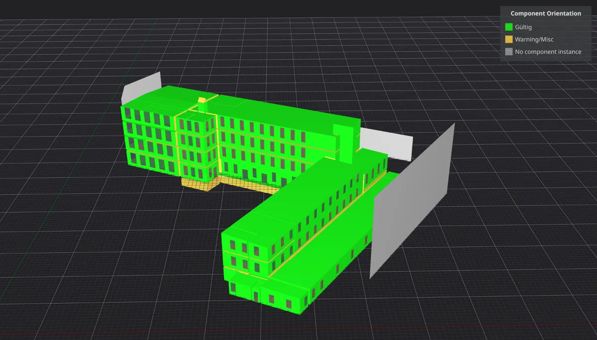
Integrated Quality Assurance
Complete control of your model – from parameterization to visualization.
- Database-driven parameterization
- Comprehensive model data visualization
- Complete model verification
- Quick and reliable parameter adjustments
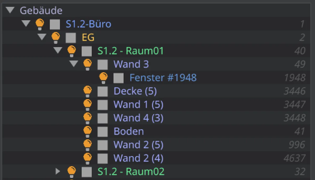
Object Hierarchy and Navigation
Maintain full overview even with complex models.
- Interactive object tree linked to 3D view
- Controlled selection and deselection: rubberband, smart select etc.
- Advanced features – invert selection, hide selected objects, database-linked object selection
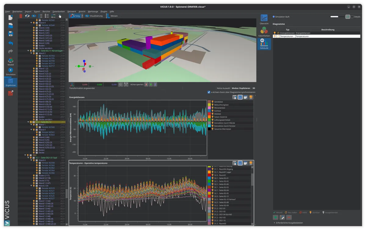
Results Visualization
Analyze simulation results quickly and in detail.
- Fast analysis via model-linked visualization
- Detailed analysis via post-processing tool
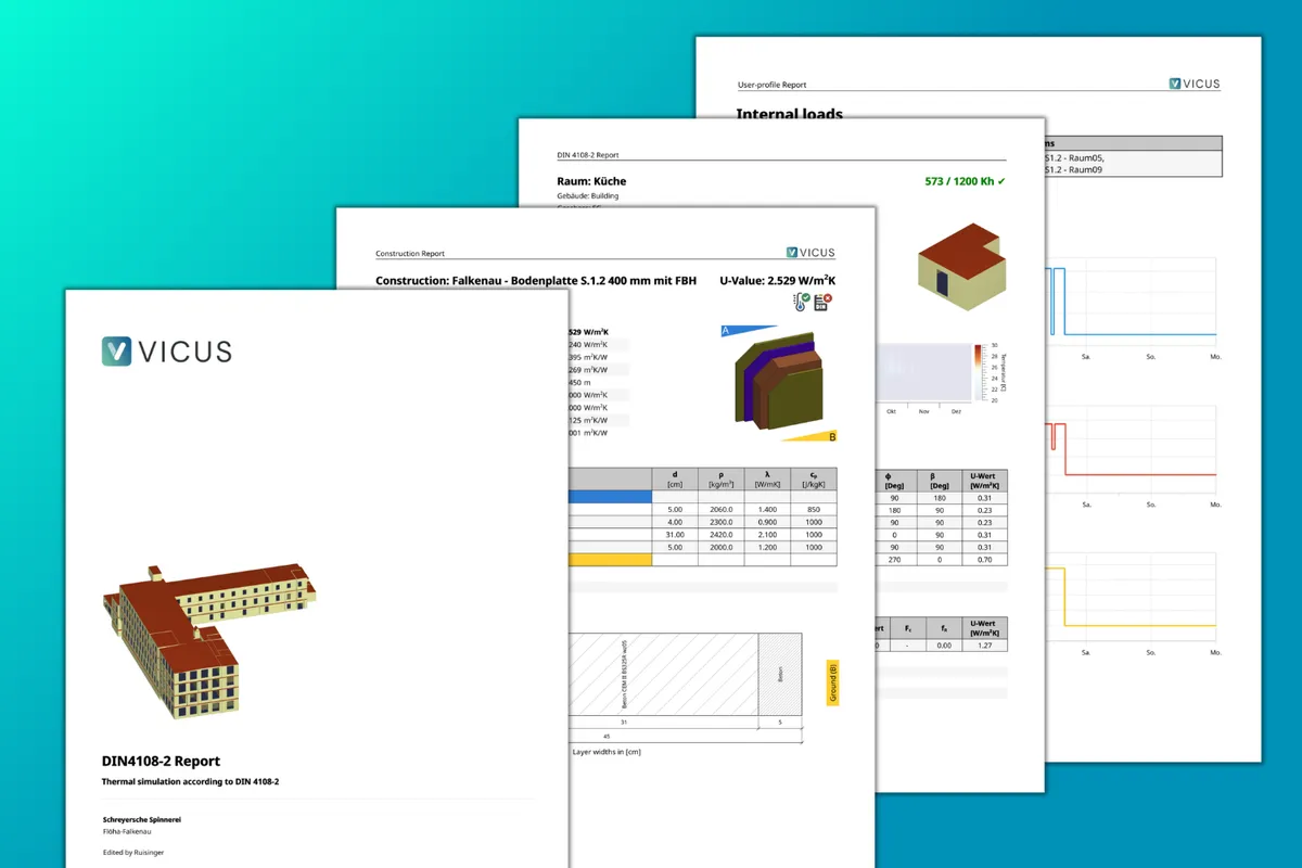
Reports
Create professional reports for your clients and partners.
- Practice-oriented
- Professional layout
- Customizable (including company logo)
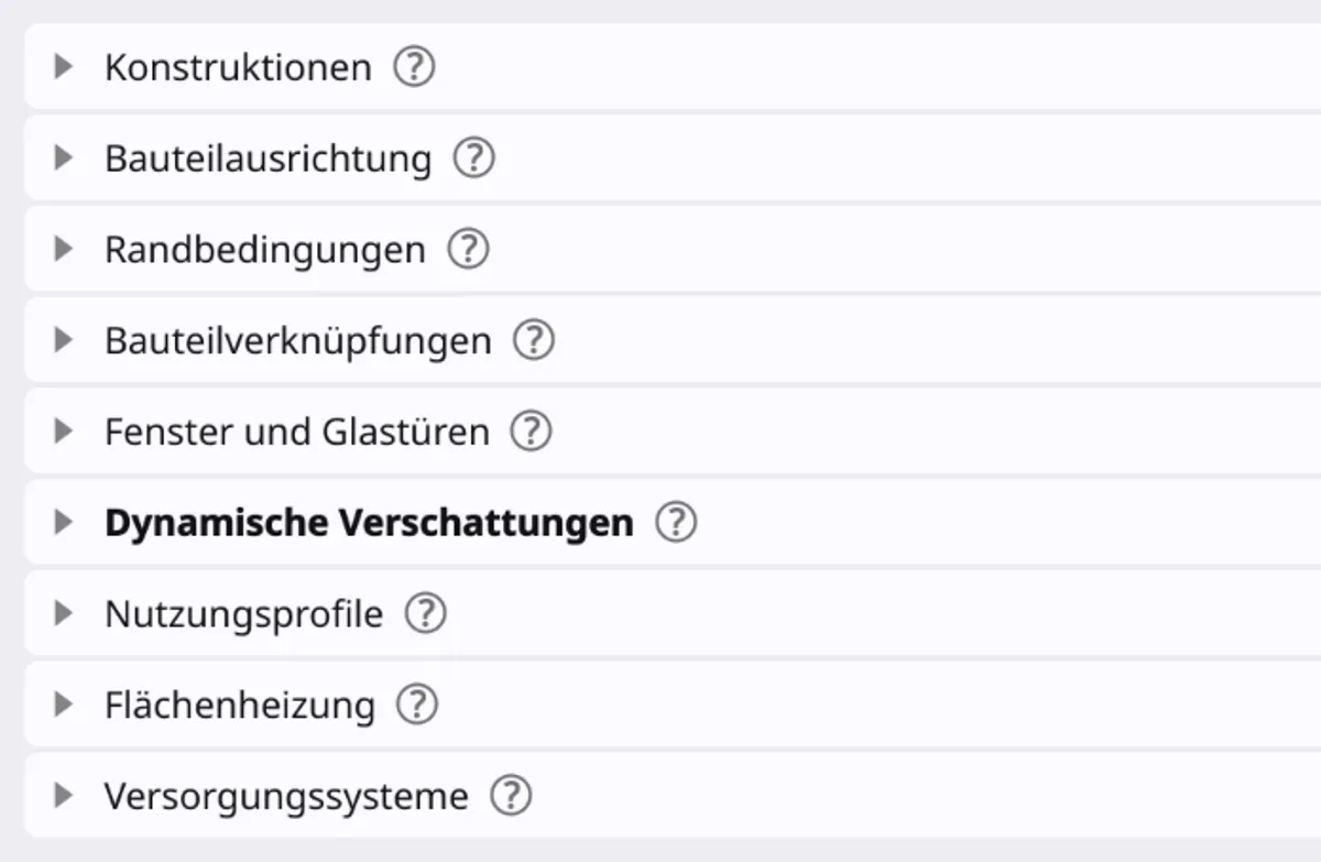
Process-Oriented Interface
A user interface consistently aligned with real-world workflows.
- Consistently aligned with real work processes
- Simulation professionals feel at home immediately
- Beginners are guided into building simulation
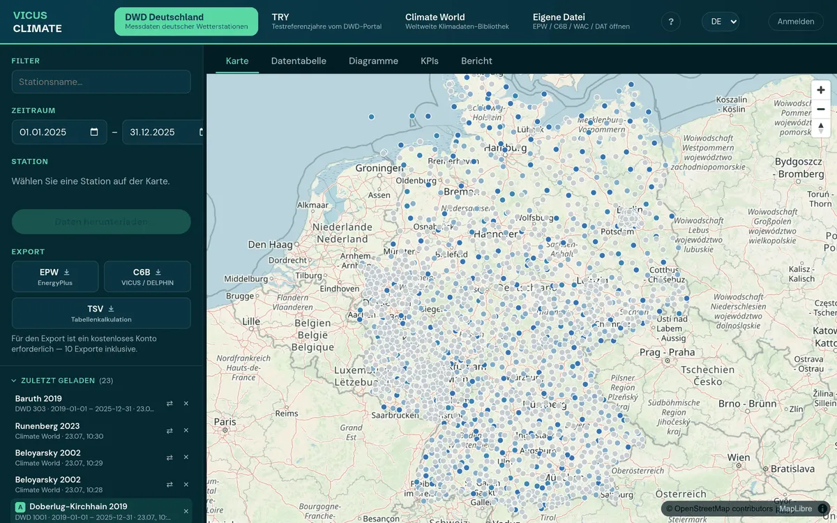
VICUS CLIMATE – Climate Data in the Browser
Our new web tool delivers weather data for simulation right in the browser – no installation required. DWD measurements, test reference years and worldwide climate data from a single source.
- DWD weather stations, TRY 2015/2045 and worldwide locations on the interactive map
- Interactive charts, editable data table and data-quality rating
- Export to EPW, C6B and TSV – ready to use in your simulation
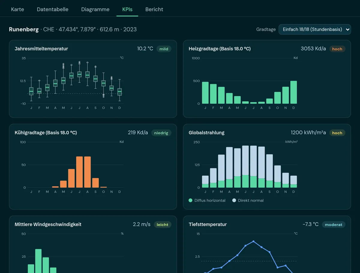
KPI Analysis & Location Comparison
Climate key figures at a glance – and in a direct A/B comparison of two locations, years or datasets, e.g. measured data versus a test reference year.
- Monthly charts for temperature distribution, radiation, precipitation and wind rose
- Heating and cooling degree days following common conventions (DIN 4108-6, VDI 3807, Eurostat, ASHRAE)
- Frost days, hot days and tropical nights with classification
- A/B comparison with per-KPI deltas
- Climate report as a styled PDF
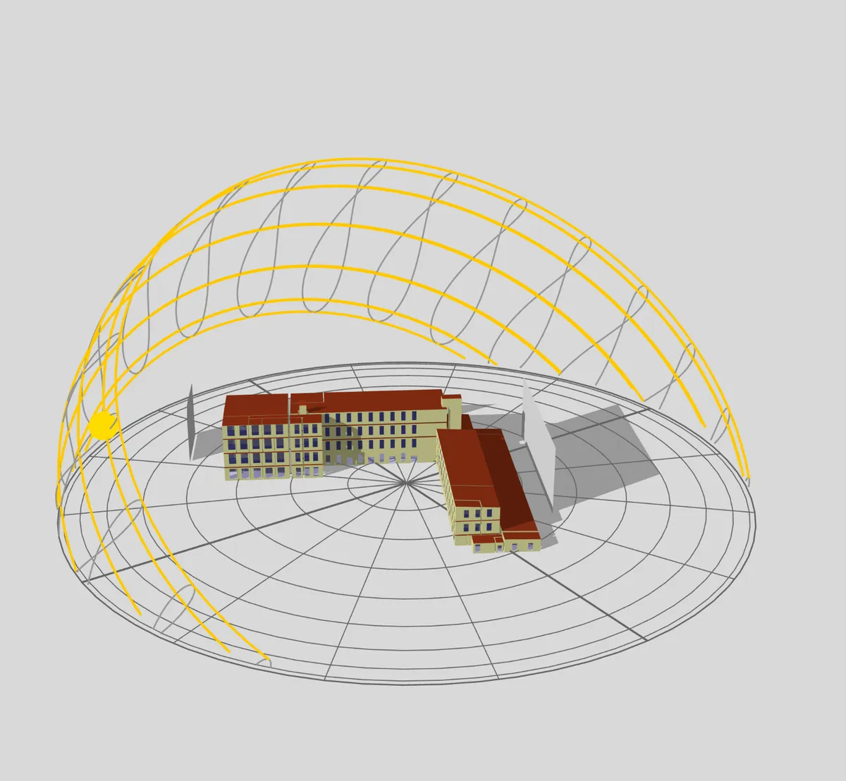
Environmental Conditions Analysis
Understand the climatic conditions of your site – for well-founded planning decisions.
- Carpet plot with sunshine hours for the entire year
- Sun path diagram
- Annual shading analysis of surfaces
See for yourself
Test all features free for 30 days with no obligation.